

Winter Storm Threatens Heavy Snow and Ice Across Much of U.S.: Potentially Life-Threatening Conditions Expected in Nearly 30 States
January 22, 2026 — A powerful and expansive winter storm system is rapidly developing over the central United States and is forecast to bring heavy snow, f
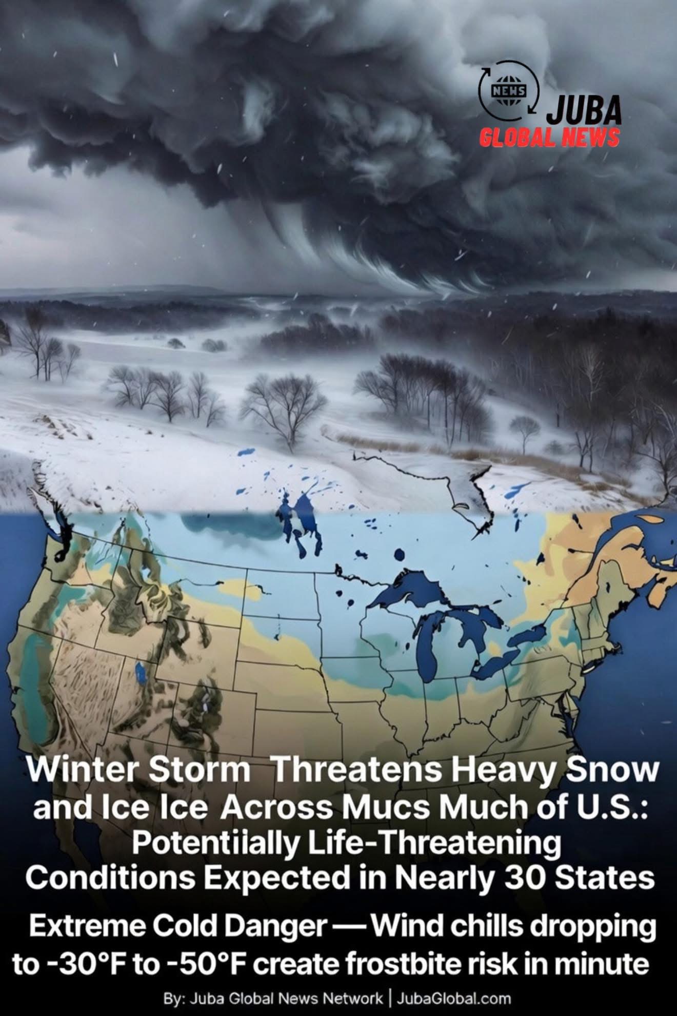
January 22, 2026 — A powerful and expansive winter storm system is rapidly developing over the central United States and is forecast to bring heavy snow, freezing rain, sleet, and dangerously cold wind chills to nearly 30 states over the next five to seven days. The National Weather Service (NWS) has issued a wide array of winter weather warnings, watches, and advisories stretching from the northern Plains and Upper Midwest through the Great Lakes, Ohio Valley, Northeast, and parts of the southern Appalachians and interior Mid-Atlantic.
This sprawling storm—already being referred to by meteorologists as a “multi-hazard blockbuster”—carries the potential to become one of the most impactful winter events of the 2025–2026 season so far, with life-threatening travel conditions, widespread power outages, structural damage from ice accumulation, and extreme cold that could strain energy grids and threaten vulnerable populations.
Storm Track and Timeline
The storm is being driven by a potent upper-level trough digging into the western U.S., combined with a strong area of high pressure anchored over eastern Canada. This pattern is funneling deep Arctic air southward while pulling copious moisture from the Gulf of Mexico and western Atlantic.
Key Phases and Impacts (January 22–29, 2026):
- January 22–23 (Wednesday–Thursday): Heavy snow develops across the northern Plains (North Dakota, Minnesota, northern Wisconsin) and Upper Midwest. Accumulations of 8–18 inches are possible, with locally higher amounts in lake-effect snow bands downwind of the Great Lakes. Blizzard conditions are likely in portions of the Dakotas and western Minnesota due to strong winds gusting 40–60 mph.
- January 24–25 (Friday–Saturday): The storm’s center tracks northeastward into the Great Lakes region. A swath of heavy snow (12–24+ inches) is expected across Michigan’s Upper and Lower Peninsulas, northern Ohio, northern Indiana, northern Illinois, Wisconsin, and Lower Michigan. Ice accretion of 0.25–0.75 inches (locally 1+ inch) is forecast across much of Missouri, southern Illinois, southern Indiana, Kentucky, and parts of Tennessee and northern Arkansas.
- January 25–27 (Saturday–Monday): The storm reaches peak intensity as it moves into the Northeast and New England. Significant ice (0.5–1.5 inches) is possible across Pennsylvania, New York, northern New Jersey, and southern New England, followed by heavy snow (12–30+ inches) in upstate New York, Vermont, New Hampshire, Maine, and interior portions of Massachusetts and Connecticut. Blizzard conditions are likely across northern New England.
- January 27–29 (Monday–Wednesday): Arctic air surges in behind the storm, bringing dangerously cold wind chills of -20°F to -50°F across the northern Plains, Upper Midwest, and Great Lakes. Sub-zero wind chills could reach as far south as northern Missouri and southern Ohio.
Current Warnings and Watches (as of January 22 morning)
- Winter Storm Warnings — Portions of 18 states, including North Dakota, Minnesota, Wisconsin, Michigan, Iowa, Illinois, Indiana, Ohio, Pennsylvania, New York, Vermont, New Hampshire, Maine, Missouri, Kentucky, Tennessee, West Virginia, and Maryland.
- Ice Storm Warnings — Southern Missouri, southern Illinois, western Kentucky, and parts of Arkansas and Tennessee.
- Blizzard Warnings — Western North Dakota, northwestern Minnesota, and potentially northern New England later in the weekend.
- Winter Weather Advisories — An additional 10+ states, extending the threat zone to nearly 30 states overall.
- Extreme Cold Watches/Warnings — Expected to be issued late this weekend into early next week across the northern tier.
Potential Impacts and Life-Threatening Hazards
- Travel Paralysis — The combination of heavy snow, ice, and high winds is expected to create near-zero visibility and impassable roads across large regions. The NWS has warned that “travel may become impossible” in many areas, especially during the height of the storm Friday night through Sunday.
- Power Outages — Ice accumulation of half an inch or more can bring down trees and power lines. Outages affecting hundreds of thousands (possibly millions) of customers are possible, particularly in the Ohio Valley, Mid-Atlantic, and Northeast where trees are still fully leaved or weighed down by earlier snow.
- Structural Damage — Significant ice loading (especially ≥0.75 inches) can cause roof collapses, snapped utility poles, and downed communication lines.
- Extreme Cold Danger — Wind chills dropping to -30°F to -50°F create frostbite risk in minutes. Vulnerable populations (elderly, homeless, those with medical conditions) face heightened danger, especially if power is lost.
- Economic and Supply Chain Disruption — Airports, highways, rail lines, and ports may close or severely restrict operations. Grocery stores and fuel supplies could be strained in affected regions.
Public Safety Messages
The NWS and FEMA are urging residents to:
- Prepare emergency kits with food, water, medications, blankets, flashlights, and battery-powered radios
- Avoid unnecessary travel during the storm
- Charge devices and have backup power sources ready
- Check on neighbors, especially the elderly and those living alone
- Never use generators, grills, or camp stoves indoors or in attached garages
As the storm unfolds over the coming days, updates will be critical. This event has the potential to affect tens of millions of Americans across nearly one-third of the contiguous United States, making it one of the largest and most hazardous winter storms in recent memory.
Stay weather-aware, stay safe, and follow local National Weather Service offices for the latest warnings and forecasts.
