

East Coast Braces for Historic Blizzard as Nor’easter Unleashes Heavy Snow, High Winds, and Life-Threatening Conditions
By: Juba Global News Network | Juba Global News Network | JubaGlobal.com February 22, 2026 – A powerful nor’easter, rapidly intensifying into a bomb cyclon
By: Juba Global News Network | Juba Global News Network | JubaGlobal.com
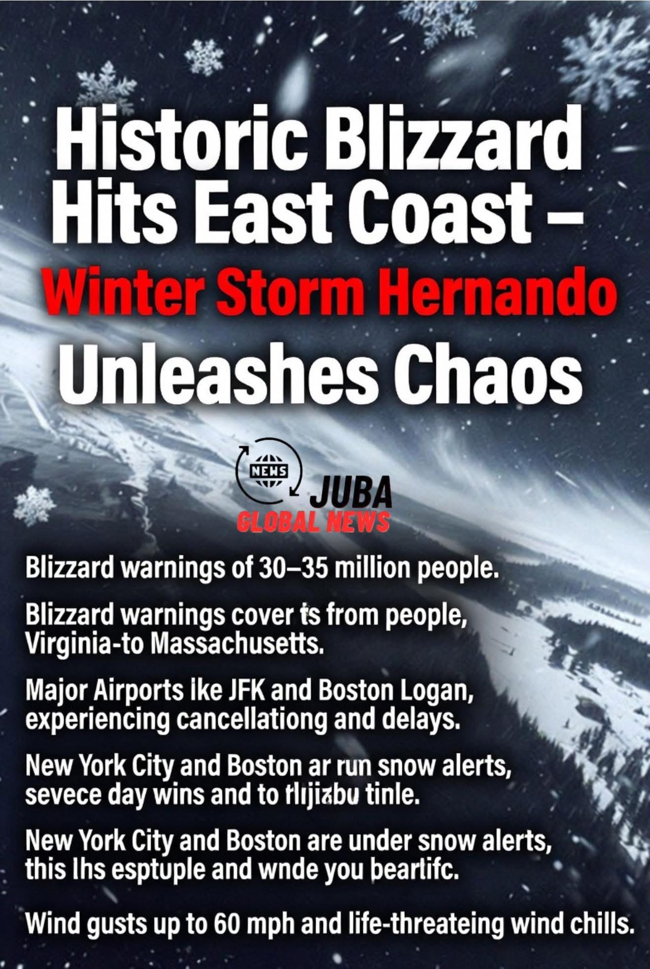
February 22, 2026 – A powerful nor’easter, rapidly intensifying into a bomb cyclone off the Mid-Atlantic coast, is slamming the East Coast with blizzard conditions, heavy snowfall, damaging winds, and coastal flooding risks. Blizzard warnings cover nearly 30–35 million people from coastal Virginia through Maryland, Delaware, New Jersey, New York, Connecticut, Rhode Island, and into Massachusetts, marking one of the most significant winter storms in years for the densely populated Northeast megalopolis.
The storm, unofficially named Winter Storm Hernando by some outlets including The Weather Channel, originated from a shortwave trough that moved onshore on the West Coast earlier in the week. It swiftly traversed the country, developing into a potent low-pressure system by late February 21. As of Sunday morning, the system is undergoing bombogenesis—rapid pressure drop of nearly 40 millibars in 24 hours—fueling explosive strengthening and classic nor’easter characteristics: heavy, wet snow driven by strong easterly winds.
The National Weather Service (NWS) offices in Mount Holly, New York, Boston, and others have issued widespread blizzard warnings effective from Sunday afternoon through Monday evening. These warnings highlight whiteout conditions with visibility frequently dropping below a quarter-mile due to falling snow and blowing snow, combined with sustained winds of 35 mph or higher and gusts reaching 50–70 mph (up to hurricane-force near some coastal areas like Cape Cod and the islands).
Key forecast details include:
- Snowfall Totals: 1–2 feet (12–24 inches) widespread across the I-95 corridor from Philadelphia to Boston. Heaviest accumulations expected in coastal New Jersey, Long Island, southern and eastern Connecticut, Rhode Island, southeastern Massachusetts, and parts of Delaware. New York City could see 16–24 inches, potentially the heaviest since the 2016 blizzard (27.5 inches in Central Park). Inland areas may receive 6–12 inches of heavy, wet snow, increasing risks of tree damage and power outages.
- Timing: Snow begins transitioning from rain in southern areas Sunday afternoon, intensifying overnight Sunday into Monday. Peak impacts expected late Sunday night through Monday afternoon, with snowfall rates of 1–2 inches per hour (or more) in the heaviest bands. Conditions gradually improve Monday evening into Tuesday as the system pulls offshore.
- Winds and Coastal Impacts: Gusts of 50–60 mph common inland, with 60–70 mph possible along the coast, leading to downed trees, power lines, and widespread outages. Coastal flooding warnings are in effect for low-lying areas, with minor to moderate inundation possible during high tide cycles.
- Travel and Safety Risks: Authorities describe travel as “extremely treacherous” or “life-threatening” in blizzard zones. Reduced visibility, slick roads, and blowing snow create whiteout conditions. Major airports including JFK, LaGuardia, Newark, Boston Logan, and Philadelphia International face massive cancellations and delays. States of emergency have been declared in New York City and other jurisdictions, with pre-positioned snow-clearing equipment, additional crews, and early activations underway.
New York City issued a high-level Snow Alert via the Department of Sanitation starting at 6 a.m. Sunday, deploying new strategies to clear streets, sidewalks, and bus stops faster than in recent storms. Boston faces its first blizzard warning since 2022, with up to 2 feet possible in some suburbs. Philadelphia and Washington, D.C., metro areas brace for significant accumulations and wind-driven impacts.
This storm arrives amid an already challenging winter season, compounding fatigue from prior events and testing infrastructure resilience. Power companies warn of prolonged outages from heavy, wet snow on trees and lines. Residents are urged to stock essentials, avoid unnecessary travel, charge devices, and monitor local alerts.
As the nor’easter peaks, emergency services remain on high alert for stranded motorists, medical emergencies in remote areas, and structural concerns from wind and weight of snow. Forecasters emphasize this could rank among the most impactful East Coast blizzards in recent memory, with historic snowfall in key population centers.
Stay tuned for updates as the storm evolves—conditions can change rapidly. For the latest forecasts, check official NWS sources and local authorities.
Juba Global News Network – Delivering unbiased global coverage from the heart of emerging stories.
